In This Guide
A Hiking Haven in Rizal
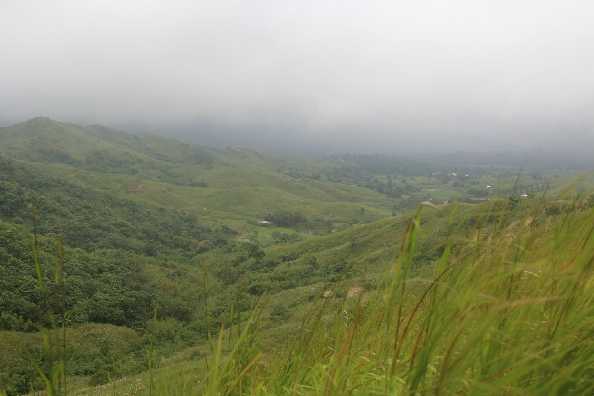
Nestled in the heart of Tanay, Rizal, just a few hours away from the bustling streets of Metro Manila, Mount Maynuba emerges as a hiking haven offering a perfect escape for nature lovers and adventure seekers alike. Rising to 728 meters above sea level, this mountain, alongside the neighboring Mount Cayabu, forms the highly popular Maynuba Circuit. Known for its scenic trails, panoramic views, and refreshing waterfalls, this destination guarantees a deeply rewarding journey.
Whether you step onto a trail for the first time or hike regularly, Mount Maynuba promises an unforgettable experience. Hikers chase its famous sea of clouds at dawn and cool off in cascading waterfalls during the descent. Unsurprisingly, Mount Maynuba has quickly become a favorite weekend destination for outdoor enthusiasts craving accessibility and abundant natural beauty.
The Summit and Trail
Reaching the Summit
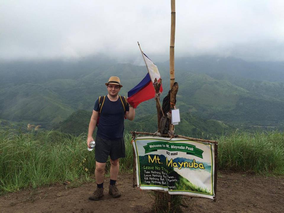
The summit of Mt. Maynuba stands at a steady elevation of 728 meters above sea level. While not the highest peak in the area, it still provides a highly enjoyable and rewarding hiking experience. Several trails lead to the top, with the famous "Maynuba Circuit" taking the crown. This specific circuit loops hikers through a series of connected peaks and offers breathtaking views of nearby mountains, waterfalls, and striking rock formations.
Navigating the Path
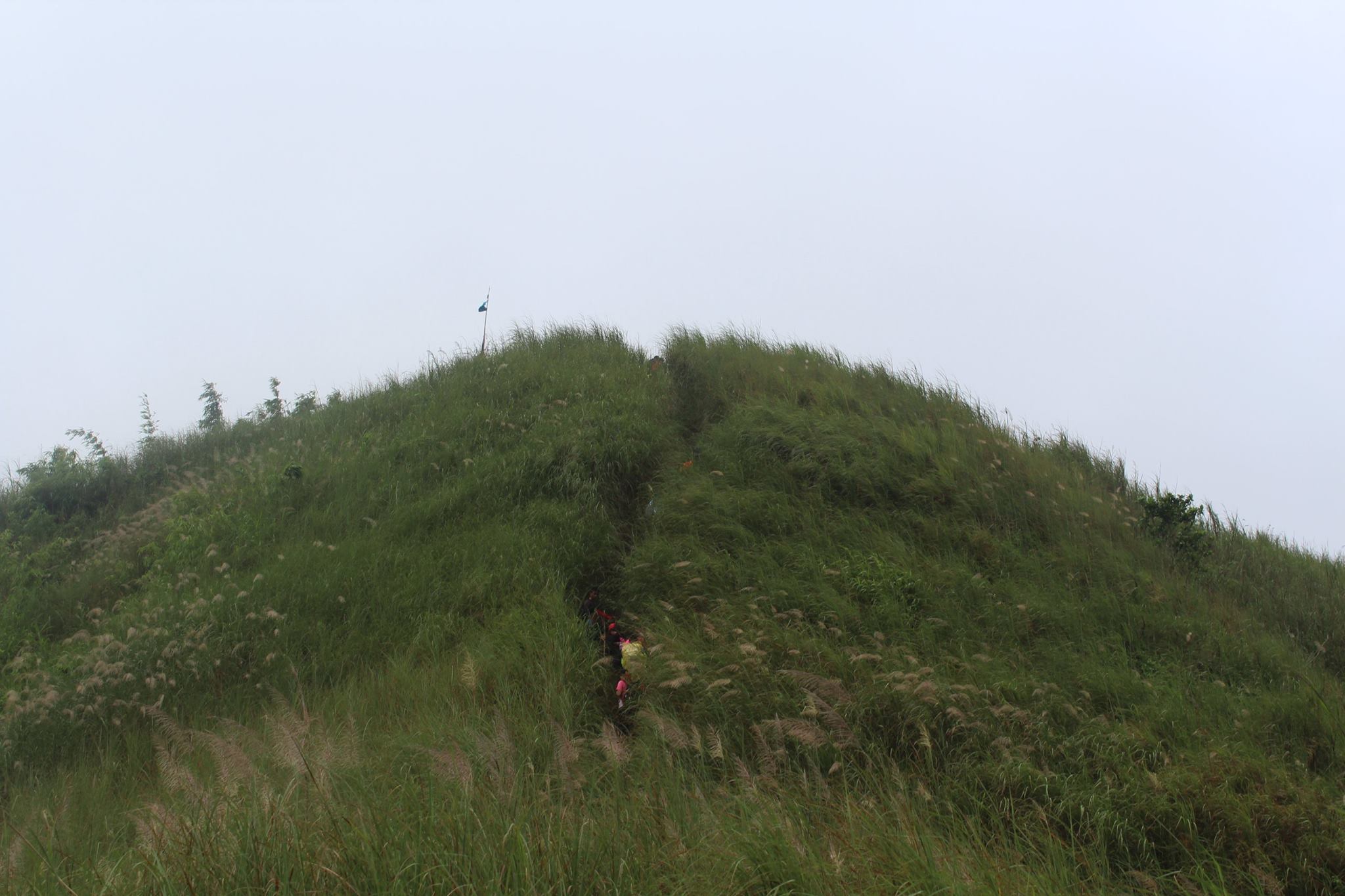
The trail tests endurance with steep ascents, river crossings, and minor scrambling sections, but most experienced hikers find it very manageable. Along the Maynuba Circuit, hikers encounter various natural attractions, including the eight majestic peaks collectively known as the "Maynuba Eight." These peaks include Mt. Cayabu, Mt. Maynuba, Mt. Susong Dalaga, Mt. Buntis, Mt. Binutasan, Mt. Sapari, Mt. Nalayag, and Mt. Ayaas. Each peak uniquely frames the surrounding landscapes.

The Complete Maynuba Circuit
Two Peaks in One Hike
The Maynuba Circuit grants hikers the brilliant opportunity to conquer two summits in a single day. You first tackle Mount Cayabu, a steep but relatively short climb hitting 500 meters above sea level, before pushing toward Mount Maynuba, the higher peak at 728 meters. This combination creates a deeply fulfilling experience, moving you through varying terrains - from dense forests to wide-open grasslands. The ultimate reward at the top features a panoramic view of the Sierra Madre mountain range. If you hike early enough, a surreal sea of clouds often blankets the landscape.
The Waterfalls Tour
One of the most unique aspects of the Maynuba Circuit involves the waterfalls tour during the descent. After finishing the tough climb, hikers pass directly by eight different waterfalls along the downward trail. The most popular among them, Sapang Labo Falls, offers the perfect spot to cool off, swim, and enjoy a well-deserved break surrounded by untouched nature. These waterfalls add a brilliant layer of tranquility to the overall adventure.
Difficulty & Accessibility
Rated as a moderate-level hike (Difficulty 4/9), the circuit easily accommodates beginners with good stamina and experienced hikers alike. While the path includes steep sections - particularly during the ascent to Mount Cayabu - the overall trail remains highly manageable. Its close proximity to Manila, requiring only a 2-3 hour drive, makes it an ideal destination for a weekend day hike.
How to Get to Mount Maynuba
The jump-off point for the Maynuba Circuit sits in Barangay Cayabu in Tanay, Rizal. Getting there from Metro Manila proves quite straightforward.
By Public Transportation
From Cubao or Shaw Boulevard, ride a jeepney or UV Express heading to Cogeo Gate 2 or Antipolo. Upon arriving at Cogeo Gate 2, transfer to a jeepney bound for Sampaloc in Tanay. Ask the driver to drop you off at the "Batay" junction. From the junction, hire a local tricycle to take you straight to the Barangay Cayabu registration area. The entire commute usually takes about 2.5 to 3 hours depending on early morning traffic.
By Private Vehicle
Using a navigation app like Waze or Google Maps, pin your destination to "Mar-Ning’s Farm and Resort" or the "Barangay Cayabu Hall." Drive through the Marikina-Infanta Highway (Marilaque Highway). The route features beautifully paved roads, but ensure your vehicle can handle winding mountain curves as you near Tanay.
Mount Maynuba Biodiversity
Flora and Fauna
The lower trails of Mount Maynuba flourish with tropical forest vegetation. You will encounter bamboo groves, diverse native hardwood species, and blooming wildflowers. These plants actively maintain the mountain’s ecosystem by preventing soil erosion and providing shelter for animals. The surrounding forests also shelter various species of birds, insects, and small mammals. Hikers often spot Philippine bulbuls, bright sunbirds, and kingfishers. The diverse birdlife turns the early morning ascent into a fantastic birdwatching experience.
Importance of the Watershed
Mount Maynuba actively contributes to the massive watershed of the Sierra Madre region, supplying crucial water to lowland communities. The mountain’s healthy forest ecosystem regulates water flow, actively prevents floods, and supports nearby agriculture. Protecting this environment guarantees clean water for both the local population and wildlife.
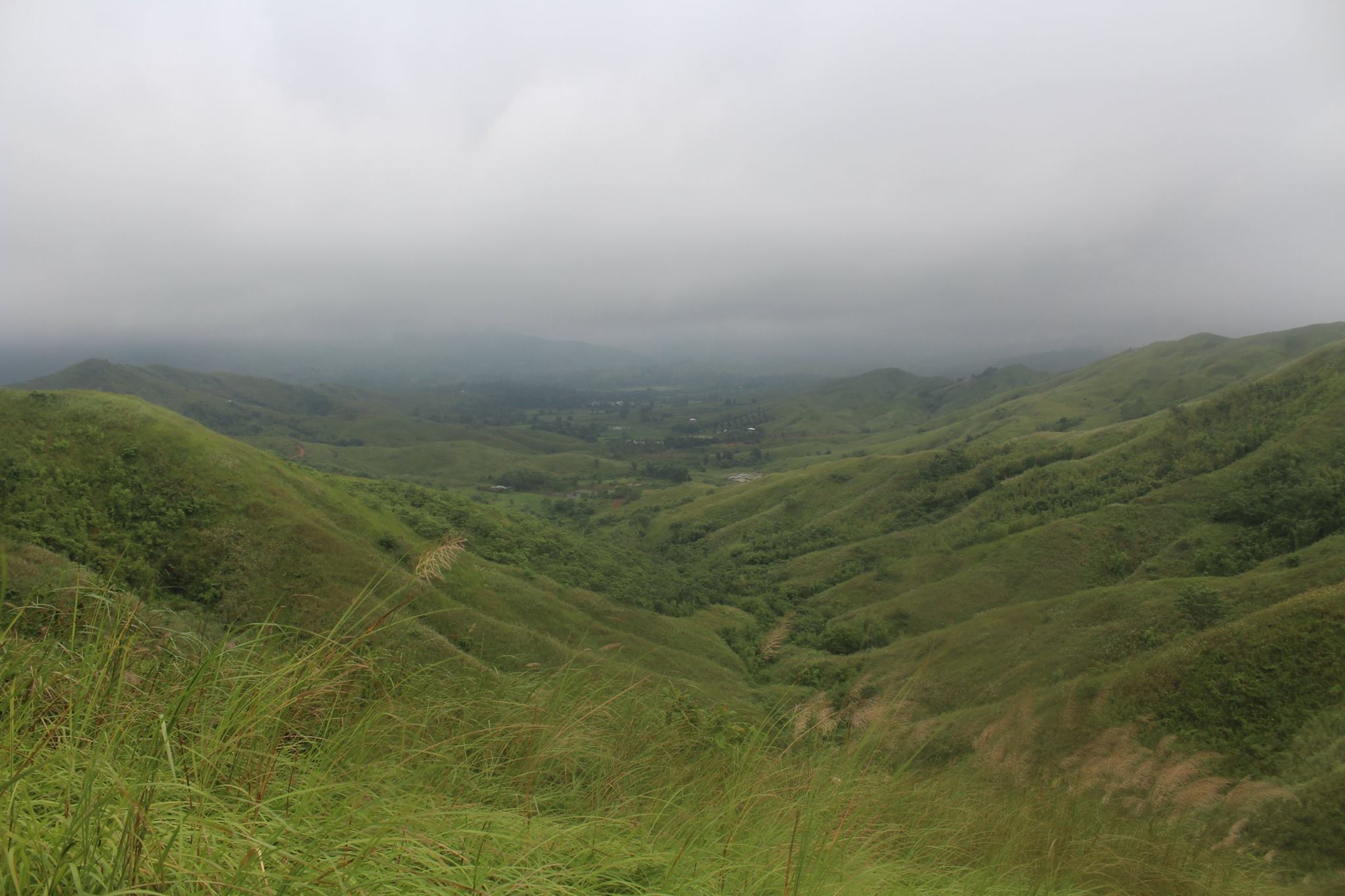

The absolute best time to hike Mount Maynuba falls during the dry season (November to early May) to avoid treacherous, muddy trails. I highly recommend starting your hike very early in the morning - around 4:00 AM - to catch the stunning sunrise and the majestic sea of clouds.
Pack a waterproof bag for your phone or camera, as you will definitely want to swim in the eight waterfalls during your descent. If you have extra time, consider visiting nearby attractions like Daranak Falls, Masungi Georeserve, or Mount Daraitan.